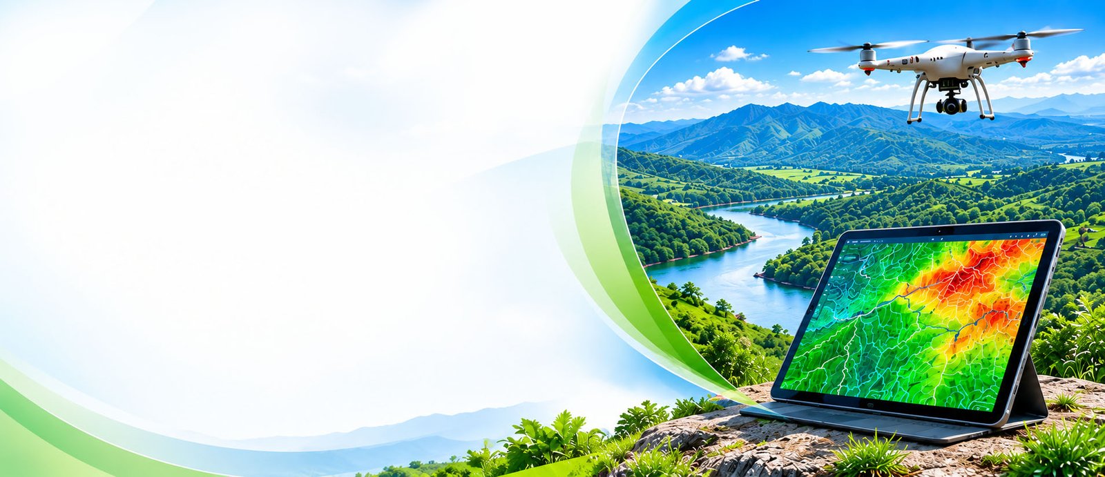
Terrain, Catchments & Landscape Intelligence
From mountains to watersheds — we provide the geospatial insight you need to understand, plan and protect your land.
Using advanced mapping, field data and spatial analysis, our team helps you visualize terrain, analyze catchments, and assess natural risks so you can make informed, confident decisions.
Smarter
Water
Nature
Resilient Future
Terrain & Catchment Analysis
Know your land, from ridge to river.We analyze terrain, elevation and watershed boundaries to identify natural drainage patterns, slope conditions and catchment areas.
- Digital Elevation Models (DEM)
- Watershed & Catchment Delineation
- Slope & Aspect Analysis
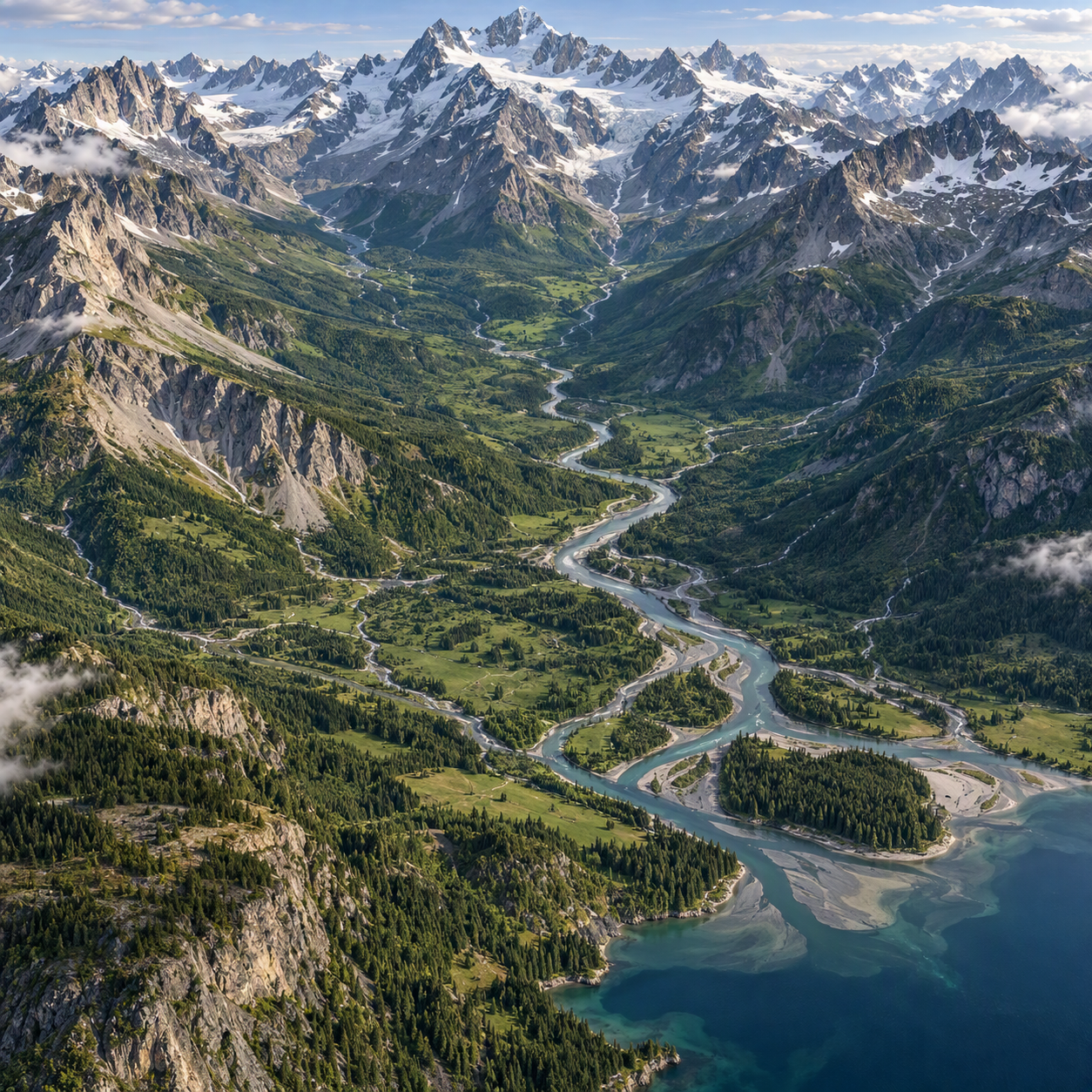
Drainage, Runoff & Flood Risk Mapping
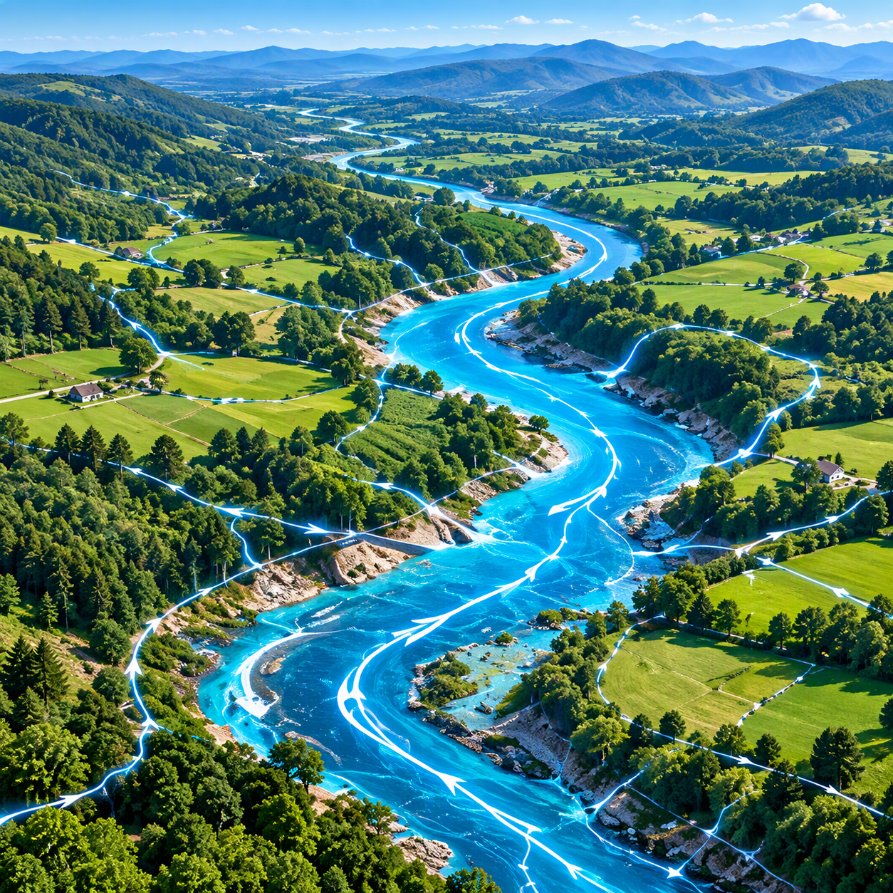
Plan ahead. Manage water better.We map drainage networks and model runoff to help you manage water resources and reduce flood and erosion risks.
- Drainage Network Mapping
- Runoff Modelling
- Flood Risk Assessment
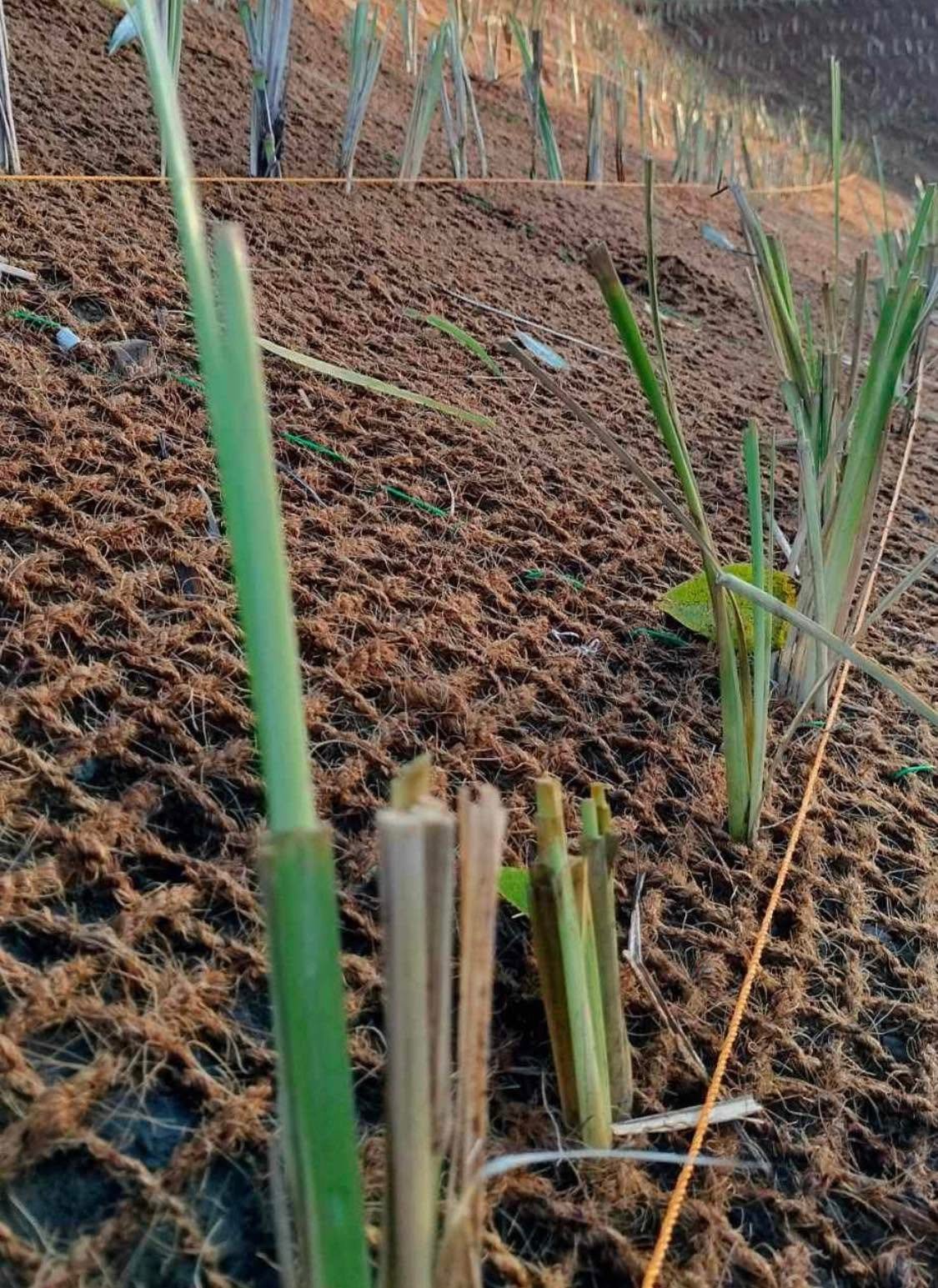
Erosion & Land Stability
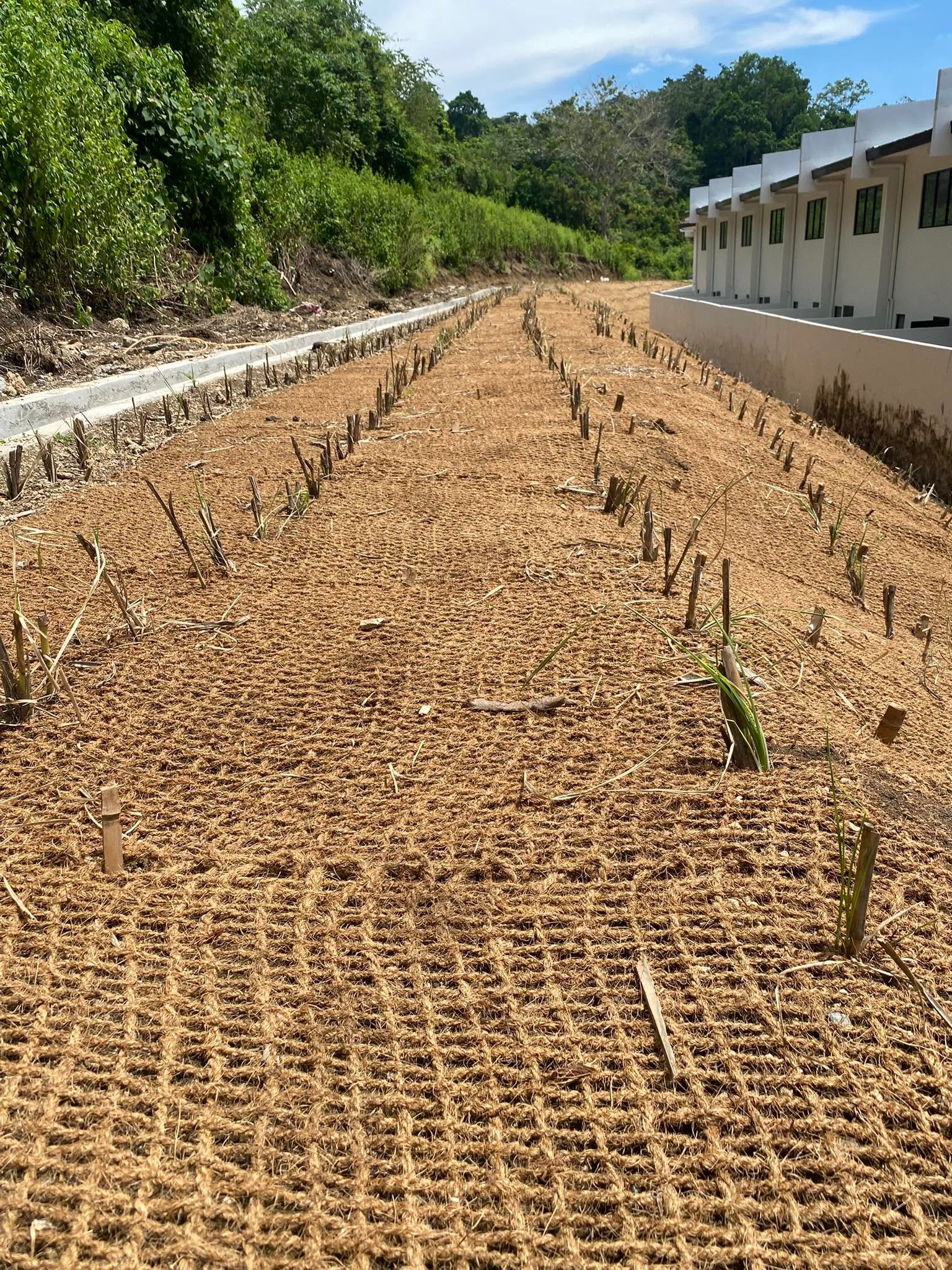
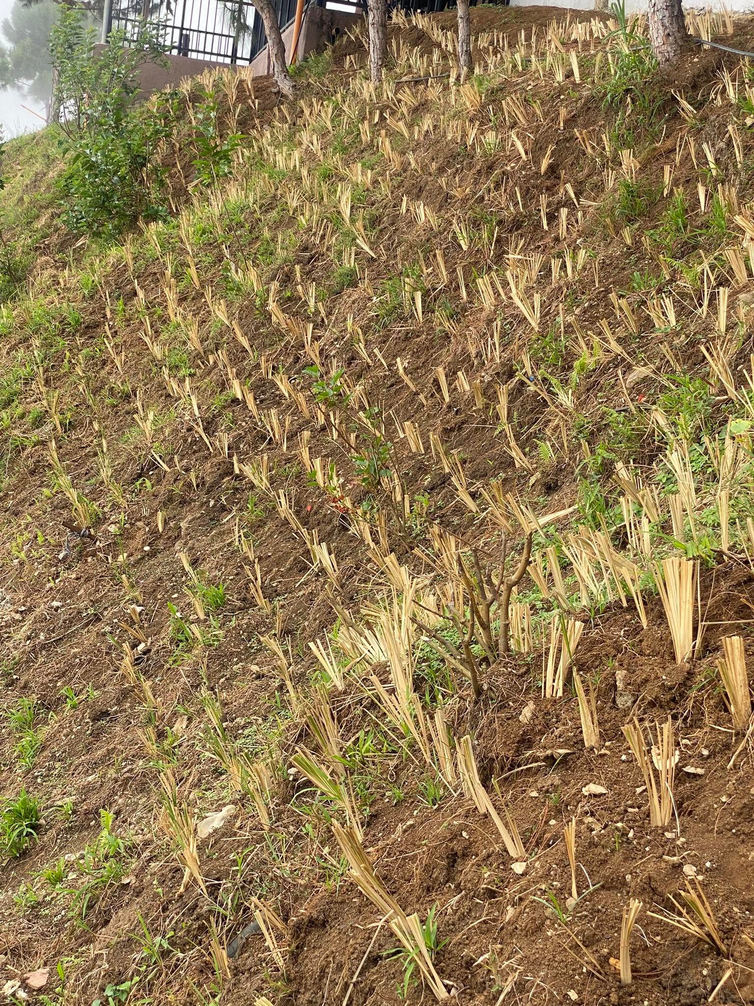
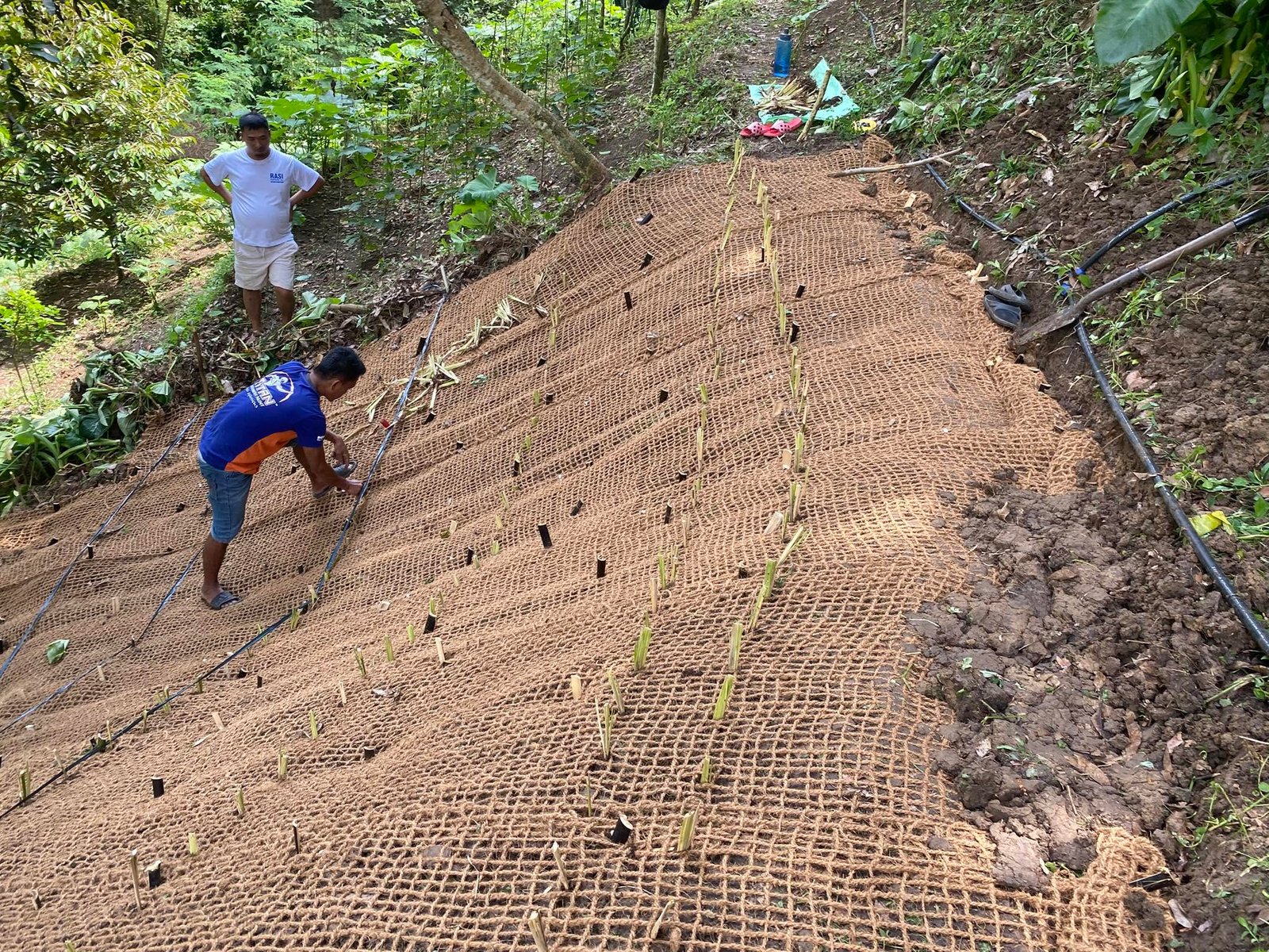
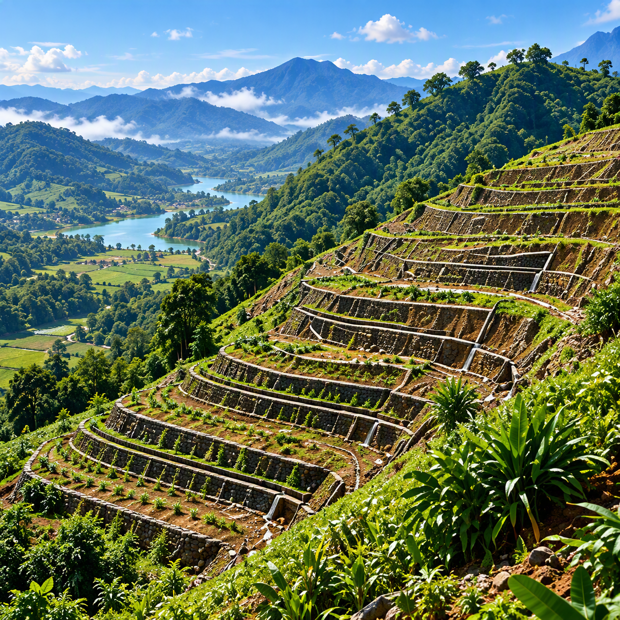
Protect your soil. Preserve your land.We assess erosion risk and land stability, providing solutions for slope and watershed management.
- Erosion Risk Assessment
- Slope Stabilization Planning
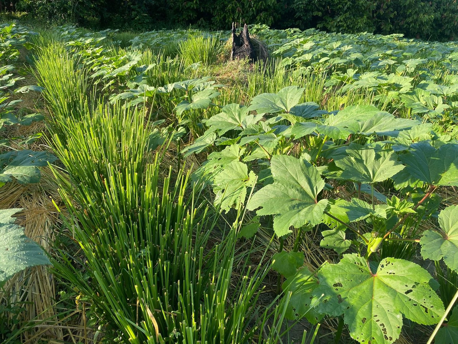
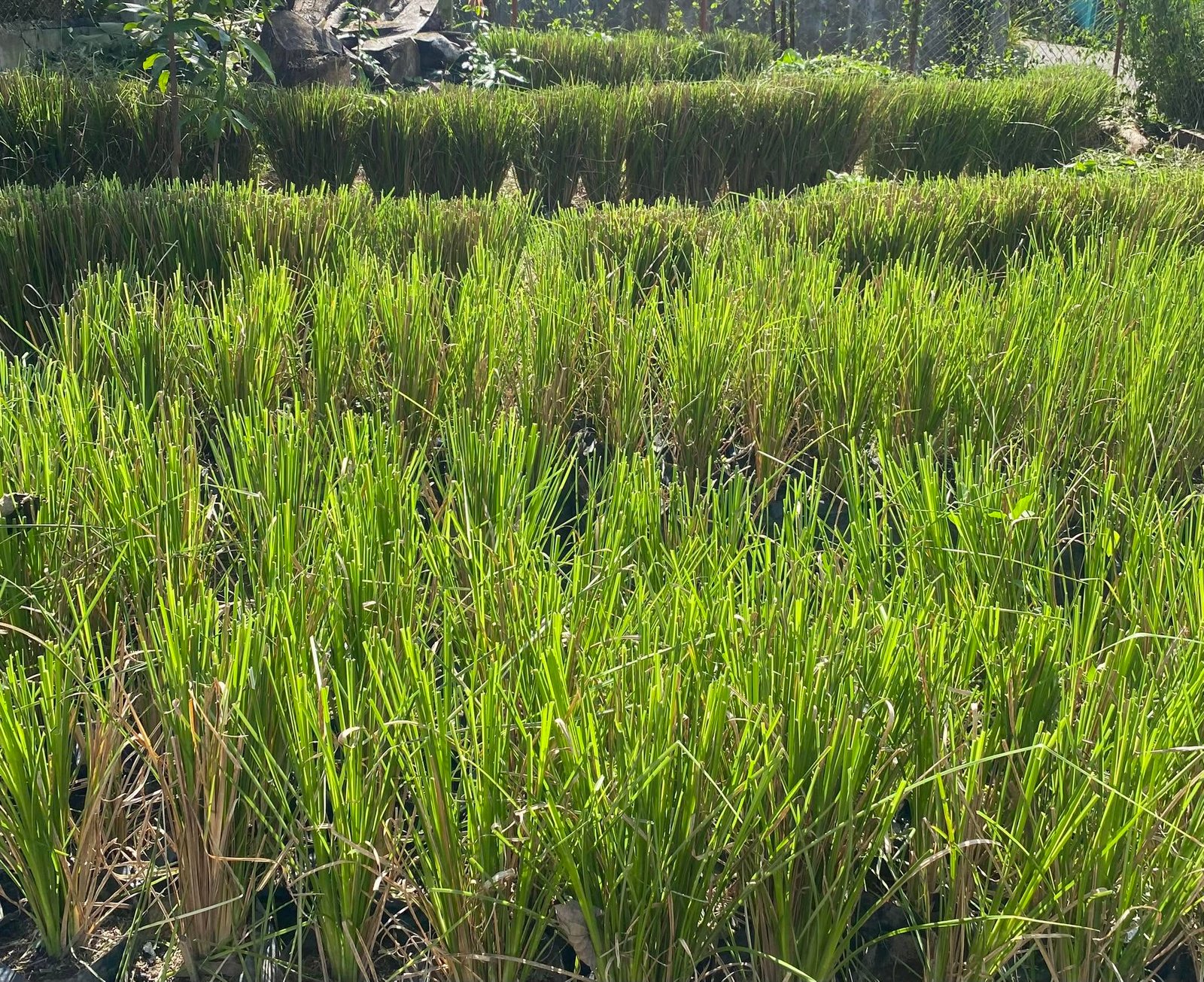
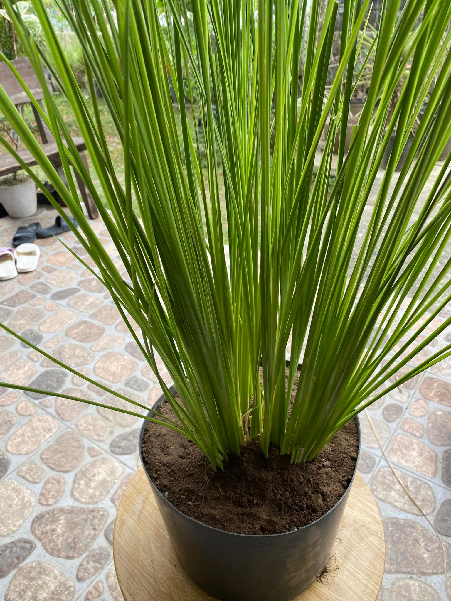
- Soil Conservation Strategies
Mapping, Field Verification & Decision Support
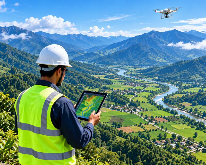
Turn data into action.We combine remote sensing, GIS mapping and field verification to deliver accurate, up-to-date insights for smarter planning.
- GIS & Spatial Mapping
- Field Survey & Verification
- Planning & Decision Support
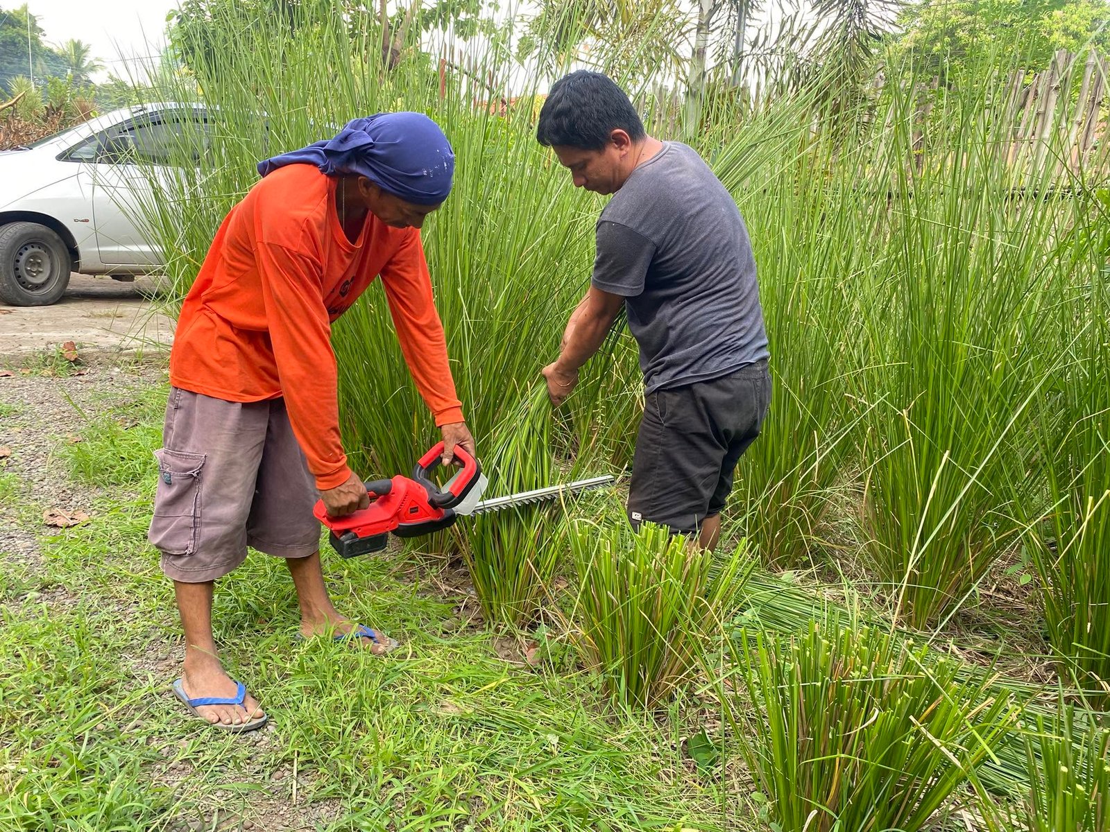
Project Gallery
Explore our work, field activities, and landscape solutions.